Andhra Pradesh and Telangana Geo Spatial Data Centre Hyderabad Nearest Metro Station
Address: Survey of India, Uppal Main Rd, Uppal, Hyderabad, Telangana 500039
We found following nearest metro station to Andhra Pradesh and Telangana Geo Spatial Data Centre Hyderabad:
Explore more locations near Andhra Pradesh and Telangana Geo Spatial Data Centre, Hyderabad
Explore Places Nearby Andhra Pradesh and Telangana Geo Spatial Data Centre, Hyderabad
College
-
0.2 km
-
0.4 km
-
1.6 km
-
2.2 km
-
2.4 km
Other
-
0.0 km
-
0.3 km
-
0.3 km
-
0.7 km
-
0.8 km
Park & Garden
-
0.8 km
-
1.8 km
-
2.3 km
-
4.5 km
Top attractions nearby
Within 10 KM from Andhra Pradesh and Telangana Geo Spatial Data Centre
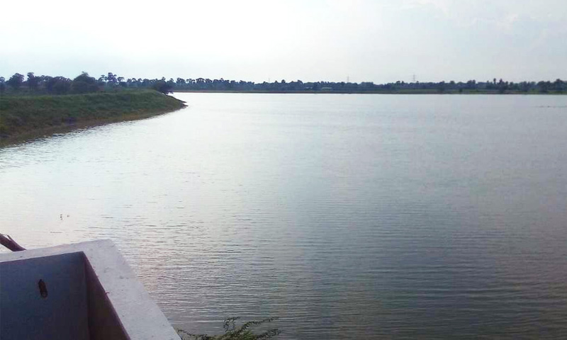
Distance: 1.8 km
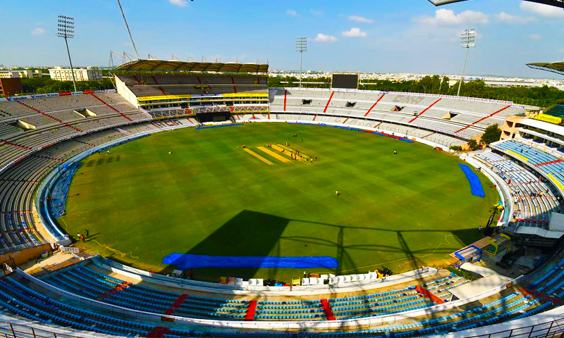
Distance: 2.5 km

Distance: 5.1 km

Distance: 5.8 km

Distance: 6.4 km
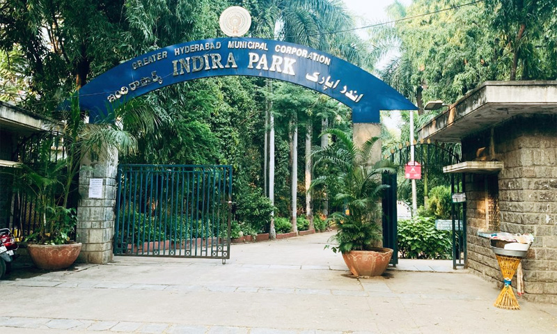
Distance: 7.7 km

Distance: 8.0 km

Distance: 8.4 km

Distance: 8.5 km

Distance: 8.7 km
🙏 Happy Journey. Safe Journey.


