Find a MPMRC Route

Indore Metro
Indore Metro Overview
Hop on a Indore Metro Metro train for a convenient, fast, and eco-friendly way to explore Indore and its neighbouring areas. With well-defined routes and an easy-to-navigate route map, the Indore Metro is a popular public transit system and a preferred mode of travel to visit top attractions in and around Indore. At present there are 16 active metro stations. YoMetro helps you with information such as Indore Metro route, service updates, timings, first/last train schedule, metro route map, fare charts, ticket details, interchange, top attractions near metro stations, and metro news.
Indore Metro Route Map 2026
View and download the official MPMRC route map.

Indore Metro Lines & Terminal Stations 2026
All MPMRC metro lines with terminal station details and current operational status.
Indore Metro Fare Chart 2026
Distance-based Fare
| Distance (km) | Normal Fare (₹) | Smart Card (₹) |
|---|---|---|
| 1 – 2 km | ₹20 | ₹0 |
| 3 – 5 km | ₹30 | ₹0 |
| 6 – 8 km | ₹40 | ₹0 |
| 9 – 11 km | ₹50 | ₹0 |
| 12 – 14 km | ₹60 | ₹0 |
| 15 – 100 km | ₹80 | ₹0 |
Tickets & Cards
Indore Metro History, Facts & Expansion Plan
- Yellow Line is an active metro rail line of Indore Metro and forms a key part of the city's metro network.
- The Yellow Line is planned to span 33.53 km with 29 metro stations, connecting Devi Ahilya Bai Holkar Terminal, Rajwada, and the Airport area.
- The priority section from Devi Ahilya Bai Holkar Terminal to Veerangana Jhalkari Bai Station covers 5.9 km and has been in service since 31 May 2025.
- The complete corridor will include 29 stations, with six stations planned to be underground between Rajwada and the Airport, while the remaining stations will be elevated.
- Indore Metro currently has 1 operational metro line, the Yellow Line, while additional corridors are planned as part of the city's future metro network.
- The Yellow Line is planned to cover 33.53 km with 29 stations, connecting Devi Ahilya Bai Holkar Terminal, the city centre, Airport and Super Corridor areas.
- As of September 2026, around 17 km of the Yellow Line with 16 stations is operational. The latest extension from Super Corridor-3 to Malviya Nagar Chauraha was opened on 5 September 2026.
- The remaining sections of the 33.53 km Yellow Line are under construction or planned for completion, including the future connection towards the Airport and other parts of the corridor.
- Indore Metro currently operates with 3-coach metro trains.
- The Yellow Line is also known as Line 3 in the Indore Metro network plan and forms the main corridor of Phase 1.
- The other proposed corridors of the Indore Metro network include:
- Line-1A: Sri Aurobindo Hospital – Collectorate Office – Indore Bypass 1
- Line-1B: Sri Aurobindo Hospital – Collectorate Office – Regional Park
- Line-2: Dewas Naka – Juni Indore – Mhow
- Line-4: MR9 – Indore Railway Station – Indore Bypass 4
Indore Metro Frequently Asked Questions
Indore Metro News & Updates 2026
View all
Top Attractions in Indore
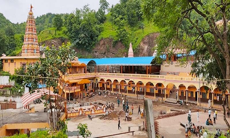
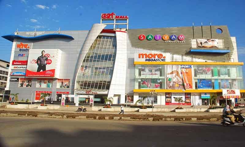
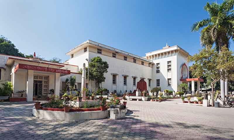
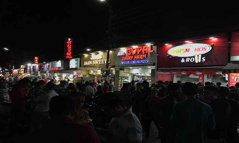
Explore popular places to visit near Indore Metro.
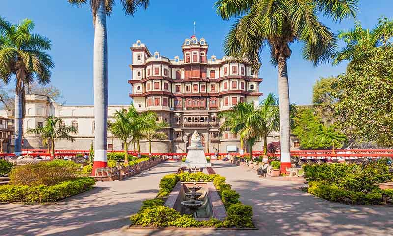
| Free Entry |
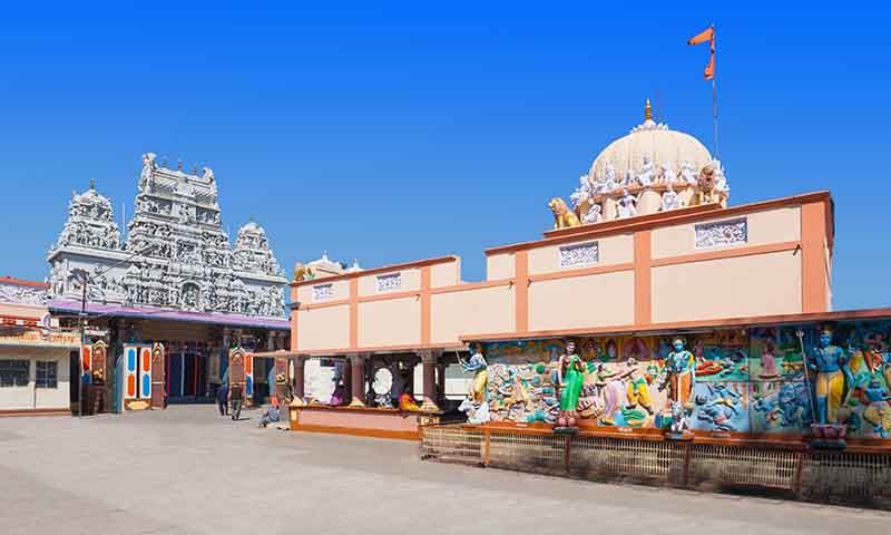
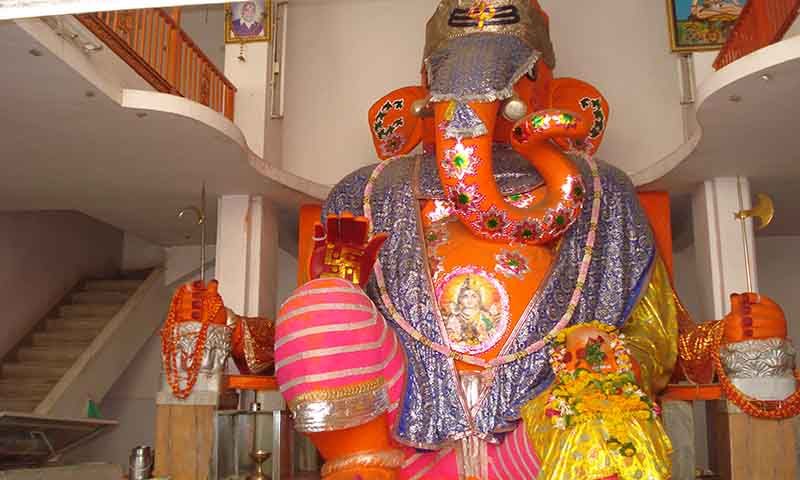
| Free Entry |

| Free Entry |
| Free Entry |
| Free Entry |