● Red Line
Chennai Metro Rail Ltd (CMRL)
Proposed
0
Stations
29 km
Line Length
Coimbatore Metro Red Line Overview
The Red Line is the proposed first corridor of Coimbatore Metro along Avinashi Road, from Ukkadam Bus Terminus to Neelambur, about 20.4 km with 18 stations. It is part of the Phase 1 plan prepared by Chennai Metro Rail Limited. In 2025, the Centre returned the proposal, citing the city's population under its metro policy, and the state has contested this. No construction has started. Explore the planned Coimbatore Metro Red Line route, proposed stations, interchange points, current construction status and latest project updates.
Red Line Route Map 2026
Pan and zoom to explore the CMR Red Line.

Loading map…
100%
Ctrl + Scroll to zoom · Drag to pan
Red Line History, Facts & Expansion
- The Red Line is the proposed Avinashi Road corridor of Coimbatore Metro, from Ukkadam Bus Terminus to Neelambur.
- It is planned to be about 20.4 km long with 18 stations.
- The detailed project report was prepared by Chennai Metro Rail Limited (CMRL).
- Phase 1, including this corridor and the Sathy Road corridor, was estimated at about Rs 9,400 crore.
- In 2025, the Union government returned the Coimbatore and Madurai metro proposals, citing populations below 20 lakh; Tamil Nadu objected.
- No construction has started as of October 2026.
- Avinashi Road is Coimbatore's busiest arterial road.
- The corridor will serve the airport area and PSG/CIT colleges.
- CMRL acts as the planning agency.
- Tamil Nadu has continued to push for approval.
Coimbatore Metro Red Line Phase-wise Plan
DPR (2024-25) (Completed)
Submitted to the Union government.
Central Review (2025) (Returned)
Returned citing population criteria.
Next Steps (Pending)
State seeking reconsideration.
Top Attractions in Coimbatore
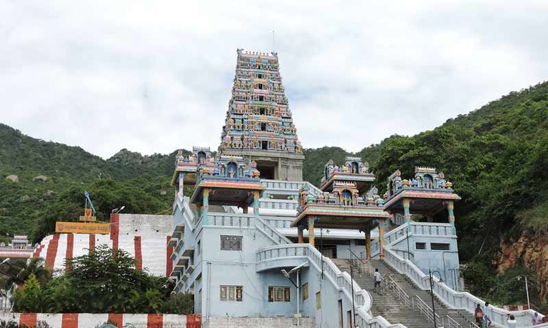
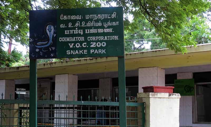
Explore popular places to visit near Red Line.