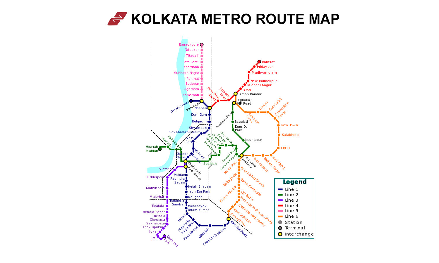
Find a KMRC Route

● Yellow Line
Kolkata Metro Yellow Line Overview
Yellow Line Station List 2026 (4 Active)
Parking Feeder Bus ATM Restroom
| # | Station | Amenities |
|---|---|---|
| 1 |
Noapara
Interchange
|
|
| 2 |
Dum Dum Cantonment
|
|
| 3 |
Jessore Road
|
|
| 4 |
Jai Hind (Airport)
Interchange
|
Yellow Line Route Map 2026
Pan and zoom to explore the KMRC Yellow Line.
Yellow Line History, Facts & Expansion
- Kolkata Metro Line 4, also known as the Yellow Line, is an important line of the Kolkata Metro.
- This line is a 16.876 km (10.486 mi) long metro corridor from Noapara to Barasat in North 24 Parganas.
- It is being constructed by RVNL, CENTBO, and ITD.
- The line will run mostly underground. The track will be elevated up to Jessore Road station and then continue underground towards Barasat Metro station.
- It will have an interchange station at NSCBI Airport with Kolkata Metro Line 6.
- Yellow Line has been divided into three phases.
- Phase 1: Noapara - Biman Bandar (Under trials, commercial services to start from August-2025)
- Phase 3: New Barrackpore - Barasat (Planned, construction will begin soon)
The Kolkata Metro Yellow Line is being extended in multiple phases.
Phase 1 runs from Noapara to the Airport (Jai Hind Bimanbandar) and is already operational, providing direct connectivity to the Netaji Subhas Chandra Bose International Airport.
Phase 2 extends the line from the Airport to Birati, covering about 6.8 km with new underground stations at Birati and Michael Nagar, with work started in January 2026.
A future Phase 3 is planned to continue the corridor from Birati to Barasat, adding more stations and linking northeastern suburbs to the metro network. Once all phases are complete, the Yellow Line will run roughly 21–22 km with up to 14 stations, seamlessly integrating the airport, northeastern suburbs, and Greater Kolkata, reducing travel time and enhancing connectivity.
Yellow Line FAQs
Kolkata Metro Yellow Line Timings
Kolkata Metro Yellow Line run between Noapara and Jai Hind Bimanbandar at the same time throughout the week.
Yellow Line Metro Timings from Monday to Friday:
- First train: 08:00:00 AM (Noapara to Jai Hind Bimanbandar) | 07:55:00 AM (Jai Hind Bimanbandar to Noapara)
- Last train: 08:17:00 PM (Noapara to Jai Hind Bimanbandar) | 08:12:00 AM (Jai Hind Bimanbandar to Noapara)
Yellow Line Metro Timings on Saturdays and Sundays:
Yellow Line Metro services are not available on both Saturday and Sunday, as per the Kolkata Metro Rail Corporation.


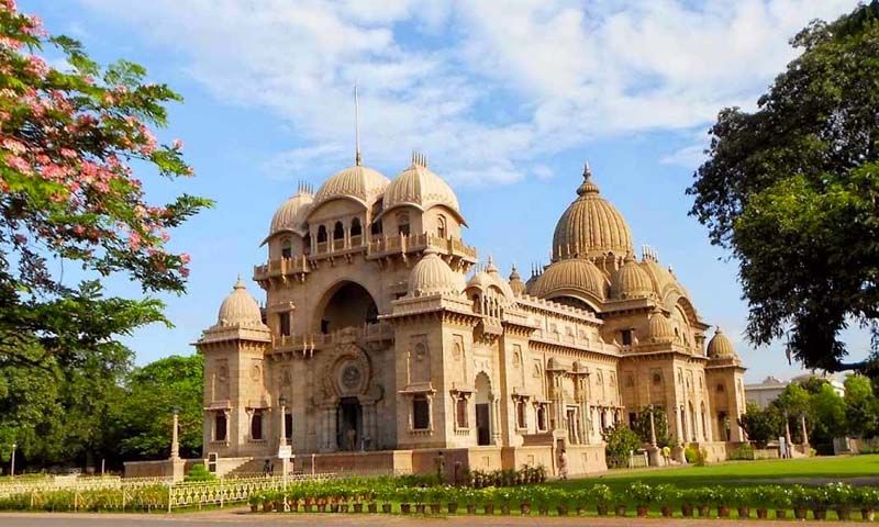
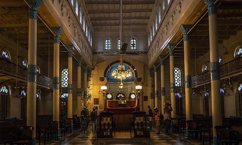
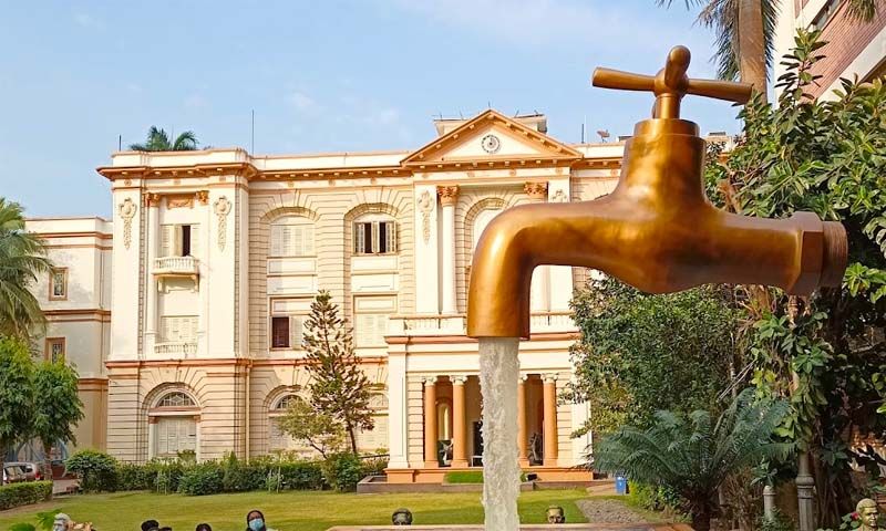
Top Attractions in Kolkata
Explore popular places to visit near Yellow Line.

| Free Entry |

| Free Entry |

| Free Entry |

| Free Entry |
| Paid Entry |


| Free Entry |