● Red Line
Chennai Metro Rail (CMRL)
Proposed
0
Stations
47 km
Line Length
Chennai Metro Red Line Overview
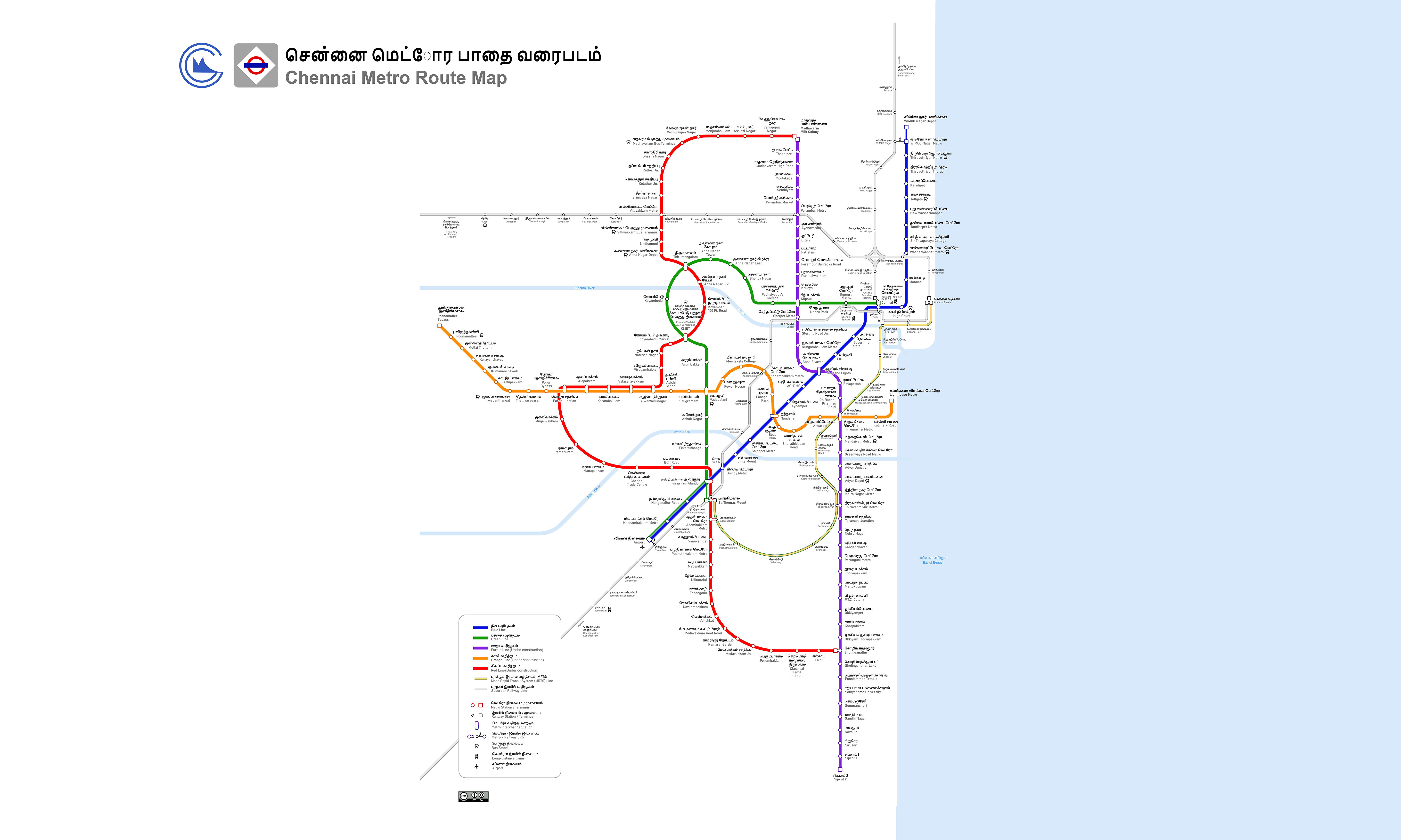
The Red Line is a metro line being developed under the Phase 2 project of the Chennai Metro, forming part of the rapid transit network in the city of Chennai, India. It is proposed to run from Madhavaram to Sholinganallur under Corridor 5. Its total planned length is approximately 47 kilometres and it includes 48 proposed stations. View Red Line Metro route information, list of proposed stations, route map, interchanges, fares, estimated travel time and distance between origin and destination, and nearby major attractions. YoMetro provides you with Chennai Metro Red Line route, first and last train timings, metro route map, fare chart, interchanges, major tourist attractions near the metro station, metro news and other related information.
Red Line Route Map 2026
Pan and zoom to explore the CMR Red Line.
Loading map…
100%
Ctrl + Scroll to zoom · Drag to pan
Red Line History, Facts & Expansion
- The Chennai Metro Red Line is part of the Phase 2 project of the Chennai Metro and is also known as Corridor 5.
- The line is proposed to run from Madhavaram Milk Colony to Sholinganallur.
- The total planned length of the Red Line is approximately 47 kilometres and includes 48 proposed stations.
- The corridor is planned to connect the northern areas of Chennai via Koyambedu, Vadapalani, St. Thomas Mount, and the southern areas via Sholinganallur.
- Proposed interchanges with other metro corridors on the Red Line will allow passengers to travel between different parts of the Chennai Metro network.
- The Red Line is currently under construction. Regular passenger services have not commenced on it, and a specific opening date has not been announced.
Chennai Metro Red Line Extension
The Chennai Metro's Red Line is being developed under Phase 2 of Corridor 5 from Madhavaram Milk Colony to Sholinganallur, a length of approximately 47 km. Additionally, CMRL has also planned an extension from Koyambedu to Pattabhiram (Outer Ring Road) via Avadi. The detailed project report for this proposed corridor was submitted in February 2025. The proposed corridor is approximately 21.76 km long and includes 19 elevated stations. This should not be considered part of the existing Red Line, as it is a separate extension.
Top Attractions in Chennai
Explore popular places to visit near Red Line.
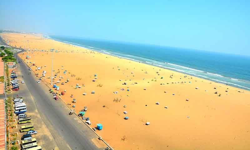
— km away from you
| Free Entry |
Nearest Metro Station
2.5 km

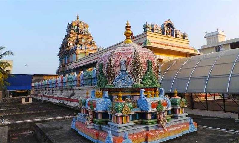
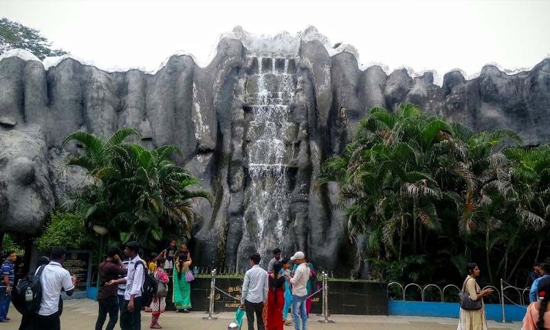



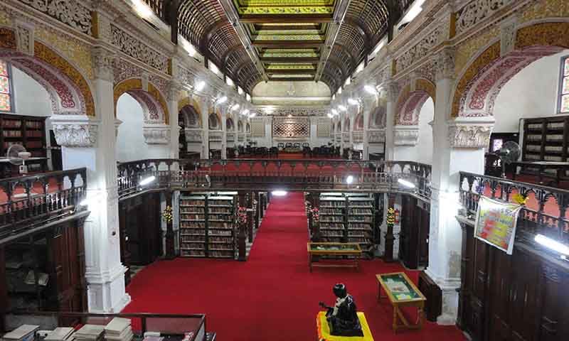
— km away from you
| Free Entry |
Nearest Metro Station
978 m
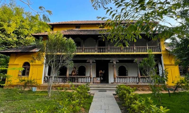
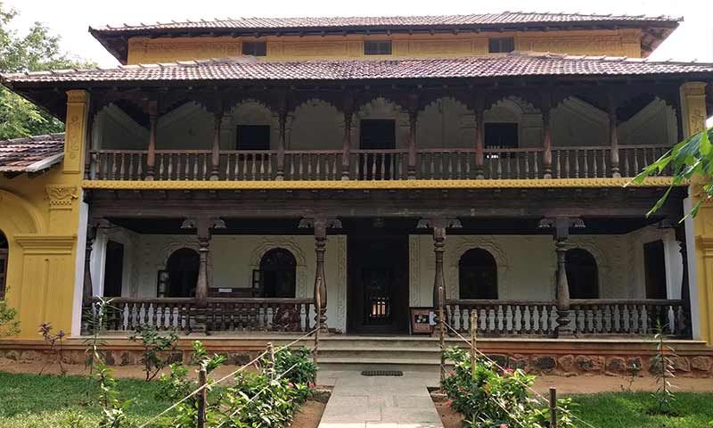
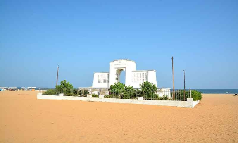
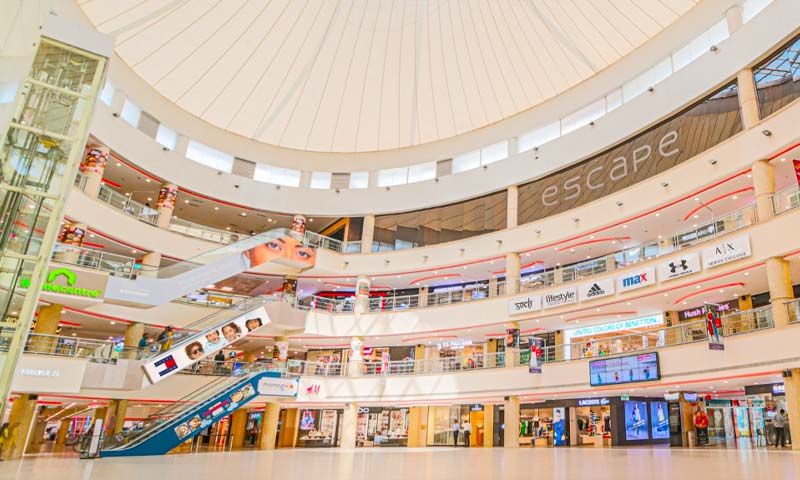
— km away from you
| Free Entry |
Nearest Metro Station
476 m